← Back to huts
Skalnatá Hut
▲ 1725 m a.s.l.
It stands in the middle of the Skalnatá Valley, directly on the route of the Tatra Ridge Trail. Nearby also runs the longest and highest-situated Tatra ski slope, connecting Lomnické Saddle with Tatranská Lomnica.
Route length
5.5 km one way
11.1 km round trip
11.1 km round trip
Elevation gain
850 m
Time (one way)
~3:06 h
Difficulty*
2/5
Trailhead
Tatranská Lomnica (850 m a.s.l.)
📍 GPS parking
N 49.16599°, E 20.26898°
🔗 Route on Mapy.com
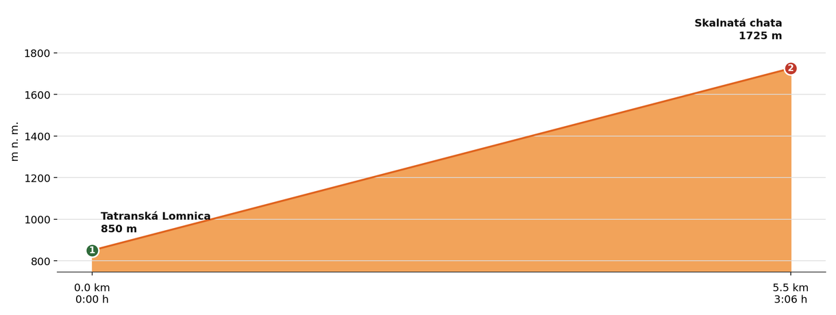
Elevation profile (podľa publikovaných dát trasy, nie z GPX)
Route breakdown
| 1 · Tatranská Lomnica 850 m · 0.0 km · 0:00 h | Starting point — the route begins here. |
| 2 · Skalnatá Hut 1725 m · 5.5 km · 3:06 h | Skalnatá Hut — the end of the route. |
ℹ Practical info
| 🅿 Parking | Tatranská Lomnica — paid car park |
| 🚻 Toilets | In the hut |
| 💧 Water | At the hut |
| 🛏 Accommodation | Accommodation available |
| 🚡 Cable car | Yes, from Tatranská Lomnica to Skalnaté Pleso |
| ❄ Operating season | Year-round |
| ☀ Best time | Year-round |
| 🧭 Orientation | Directly on the route of the Tatra Ridge Trail |
| 🎨 Trail marking | 🟢 green (whole route, Tatranská Lomnica → Skalnaté Pleso/Skalnatá Hut) |
| 🔀 Alternative route | It can also be reached from Hrebienok (from Starý Smokovec) via Rainerova Hut and Zamkovského Hut instead of directly from Tatranská Lomnica — along the red trail (Tatranská magistrála), approx. 4:45 h, ~906 m of ascent. |
| 🚨 Emergency number | Mountain Rescue Service: 18 300 (or 112) |
What to bring
🎒 Hiking boots
🎒 Trekking poles
🎒 Waterproof jacket
🎒 Water (min. 1.5 l)
🎒 Cash (not everywhere accepts cards)
🎒 Map / GPS / phone
⚠ What to watch out for
- Opening hours and accommodation availability may vary by season — check the current status directly on the hut's website.
- In winter and spring the access route may be closed or avalanche-prone — check the forecast and avalanche situation.
- The hut may be fully booked, especially on weekends in season — we recommend booking accommodation in advance.