
Popularly known as Brnčalka — a popular hut on the northern shore of Zelené Pleso tarn, in a valley below the highest walls of the High Tatras, directly on the route of the Tatra Ridge Trail.
Route length
7.7 km one way
15.4 km round trip
15.4 km round trip
Elevation gain
655 m
Time (one way)
~3:06 h
Difficulty*
3/5
Trailhead
Biela Voda (910 m a.s.l.)
📍 GPS parking
N 49.18691°, E 20.29171°
🔗 Route on Mapy.com
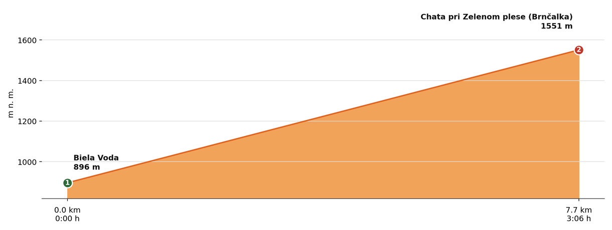
Elevation profile (podľa publikovaných dát trasy, nie z GPX)
Route breakdown
| 1 · Biela Voda 896 m · 0.0 km · 0:00 h | Starting point — the route begins here. |
| 2 · Chata pri Zelenom plese (Brnčalka) 1551 m · 7.7 km · 3:06 h | Chata pri Zelenom plese (Brnčalka) hut — the end of the route. |
ℹ Practical info
| 🅿 Parking | Biela Voda — paid car park |
| 🚻 Toilets | In the hut |
| 💧 Water | At the hut |
| 🛏 Accommodation | 56 beds in rooms + emergency dormitory with sleeping bag |
| 🚡 Cable car | No (nearest is to Skalnaté Pleso) |
| ❄ Operating season | Year-round |
| ☀ Best time | June — October |
| 🧭 Orientation | Yellow trail through the valley, only a mild climb |
| 🎨 Trail marking | 🟡 yellow (whole route, Biela Voda → Chata pri Zelenom plese) |
| 📞 Contact | hut warden Tomáš Petrík, +421 901 767 420 |
| 🔀 Alternative route | It can also be reached from Tatranské Matliare instead of from Biela Voda — via the Rázcestie nad Matliarmi and Rázcestie Šalviový prameň junctions (approx. 18 km round trip, ~1,043 m of ascent, approx. 6:10 h). Other variants: from Tatranská Lomnica via the Šalviový Prameň spring and the Zelené Pleso Valley (🔵 blue, 🟡 yellow); from Skalnaté Pleso via Veľká Svišťovka (🔴 red, a steep section secured with chains); or from Chata Plesnivec via Veľké Biele Pleso (🟢 green, 🔴 red). |
| 🚨 Emergency number | Mountain Rescue Service: 18 300 (or 112) |
What to bring
🎒 Hiking boots
🎒 Trekking poles
🎒 Waterproof jacket
🎒 Water (min. 1.5 l)
🎒 Cash (not everywhere accepts cards)
🎒 Map / GPS / phone
⚠ What to watch out for
- Opening hours and accommodation availability may vary by season — check the current status directly on the hut's website.
- In winter and spring the access route may be closed or avalanche-prone — check the forecast and avalanche situation.
- The hut may be fully booked, especially on weekends in season — we recommend booking accommodation in advance.