
The only high-mountain hut on the Liptov side of the Western Tatras, in the Žiarska Valley above the villages of Smrečany and Žiar. It was built in 1939, gave shelter to insurgents during the Slovak National Uprising, and was renovated in 2006.
Route length
5.0 km one way
10 km round trip
10 km round trip
Elevation gain
405 m
Time (one way)
~1:30 h
Difficulty*
1/5
Trailhead
Žiarska Valley, mouth (900 m a.s.l.)
📍 GPS parking
N 49.14460°, E 19.69961°
🔗 Route on Mapy.com
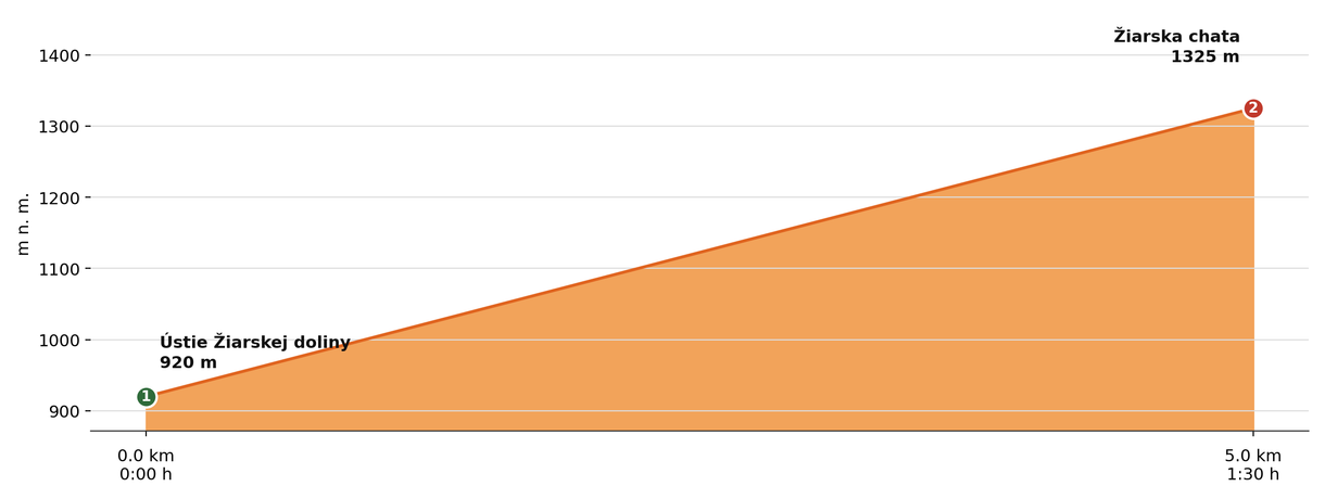
Elevation profile (podľa publikovaných dát trasy, nie z GPX)
Route breakdown
| 1 · Žiarska Valley, mouth 920 m · 0.0 km · 0:00 h | Starting point — the route begins here. |
| 2 · Žiarska Hut 1325 m · 5.0 km · 1:30 h | Žiarska Hut — the end of the route. |
ℹ Practical info
| 🅿 Parking | Mouth of Žiarska Valley — paid car park |
| 🚻 Toilets | In the hut |
| 💧 Water | At the hut |
| 🛏 Accommodation | 40 beds |
| 🚡 Cable car | No |
| ❄ Operating season | Year-round, daily 8:00 a.m.–9:00/10:00 p.m. |
| ☀ Best time | June — October |
| 🧭 Orientation | A paved road, suitable for families with children too |
| 🎨 Trail marking | 🔵 blue (whole route, Žiarska Valley, mouth → Žiarska Hut) |
| 📞 Contact | hut manager Elena Krúpová, +421 44 559 1525 |
| 🚨 Emergency number | Mountain Rescue Service: 18 300 (or 112) |
What to bring
🎒 Hiking boots
🎒 Trekking poles
🎒 Waterproof jacket
🎒 Water (min. 1.5 l)
🎒 Cash (not everywhere accepts cards)
🎒 Map / GPS / phone
⚠ What to watch out for
- Opening hours and accommodation availability may vary by season — check the current status directly on the hut's website.
- In winter and spring the access route may be closed or avalanche-prone — check the forecast and avalanche situation.
- The hut may be fully booked, especially on weekends in season — we recommend booking accommodation in advance.