← Back to peaks
Klin
▲ 2173 m a.s.l.
The fifth-highest point of the Western Tatras, located on their main ridge. It offers a view of the neighbouring Bystrá peak as well as wider panoramas of the High, Western and Low Tatras.
Route length
10.8 km one way
21.7 km round trip
21.7 km round trip
Elevation gain
1,355 m
Time (one way)
~5:19 h
Difficulty*
3/5
Trailhead
Račkova Valley, mouth (895 m a.s.l.)
📍 GPS parking
N 49.13000°, E 19.79252°
🔗 Route on Mapy.com
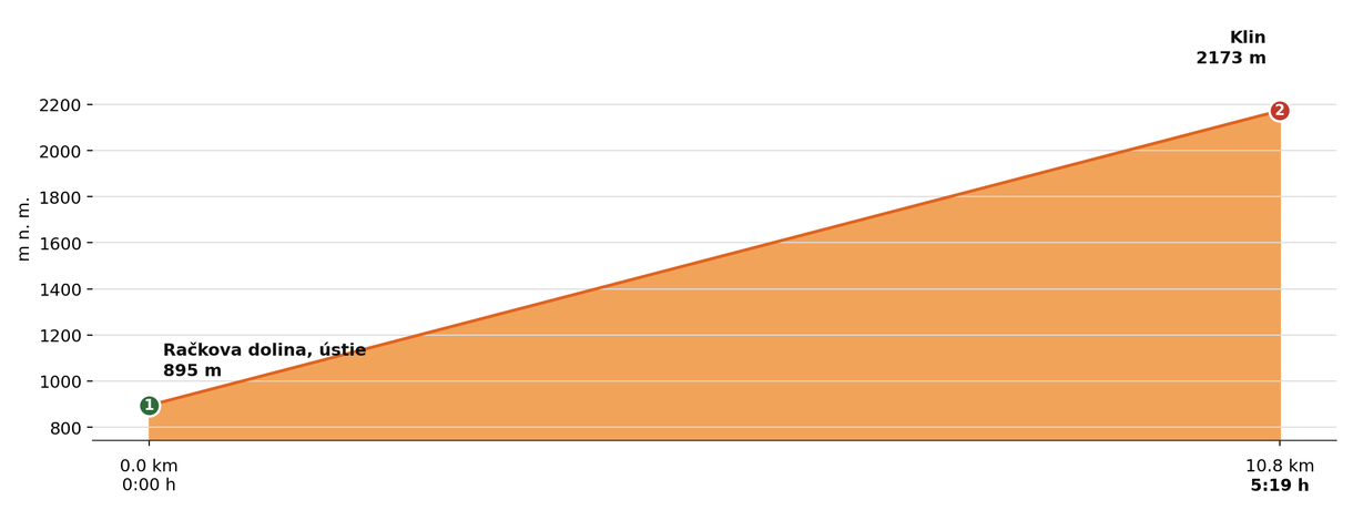
Elevation profile (podľa publikovaných dát trasy, nie z GPX)
Route breakdown
| 1 · Račkova Valley, mouth 895 m · 0.0 km · 0:00 h | Starting point — the route begins here. |
| 2 · Klin 2173 m · 10.8 km · 5:19 h | Klin summit — the end of the route. |
ℹ Practical info
| 🅿 Parking | Mouth of Račkova Valley — car park next to the campsite |
| 💧 Water | Spring in Gáborova Valley |
| 🏠 Hut | Koliba pod Klinom hut (emergency bivouac shelter on the route) |
| 🚡 Cable car | No |
| ❄ Ascent season | Closed 1 Nov – 31 May |
| ☀ Best time | June — October |
| 🧭 Orientation | Marked trail, a long ridge route |
| 🎨 Trail marking | 🟡 yellow (Račkova Valley, mouth → Račkovo Saddle), 🔴 red (→ Klin) |
| 🔄 Descent | Same route back |
| 🔗 Combination | Can be combined with Jakubina in a single full-day ridge tour via Hrubý Vrch, Končistá and Račkovo Saddle — approx. 20 km in total. |
| 🚨 Emergency number | Mountain Rescue Service: 18 300 (or 112) |
What to bring
🎒 Hiking boots
🎒 Trekking poles
🎒 Waterproof jacket
🎒 Water (min. 2 l)
🎒 Food / energy bars
🎒 First aid kit
🎒 Warm layer
🎒 Map / GPS / phone
⚠ What to watch out for
- Weather in the Tatras changes quickly — check the forecast and turn back if a storm approaches.
- In winter and spring (1 Nov – 31 May) the upper sections of the trail may be closed — check current conditions at tatry.sk or hzs.sk.
- Bring an adequate supply of water — refill points may not be available on high-mountain routes.